Rhode Island Historical Cemeteries
Home
Members
Events
Minutes
Database
FAQ/Documents
Links
Groups/Associations
Contact
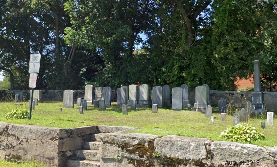
FEATURED CEMETERY PHOTO
Photo/Image Courtesy of Rhode Island Historic Cemetery Volunteers
Cemetery Number
WW001
Town
WEST WARWICK
Cemetery Name
GODFREY CEMETERY
Find A Grave (Opens in New Tab)
Go to Find a Grave
Graves List
Display Graves List
Location
OLD QUAKER LANE-BEHIND TEXACO STATION
State
RI
Direction
W
Pole Number
6
Distance
15
Map Number
Page Number
Plat Number
Deed Book
Deed Page
Size in Feet
100
Size in Feet
75
Burials
70
Inscriptions
60
Fieldstones
Tombs
Exist?
YES
Last seen date?
Newest
1980
Oldest
1814
Vandalism
N
Veteran
1
Pole
G
Comment
On access road that runs north from Division St. toward Route #95 and west of Route #2 behind the Duncan Donuts. Recorded by John Sterling in 1992 GPS coordinates 41 deg. 39' 49.07"N x 71 deg. 29' 57.82"W
Condition
good
Enclosure
stone wall
Gate
no gate
Growth
grass-well kept
Terrain
level
Cemetery Location
Cemetery Burial Map
N/A
ADDITIONAL CEMETERY PHOTOS/MAPS
 Photo/Image Courtesy of Rhode Island Historic Cemetery Volunteers