Cemetery Details
NS060 — JOHN MOWRY LOT
FEATURED CEMETERY PHOTO
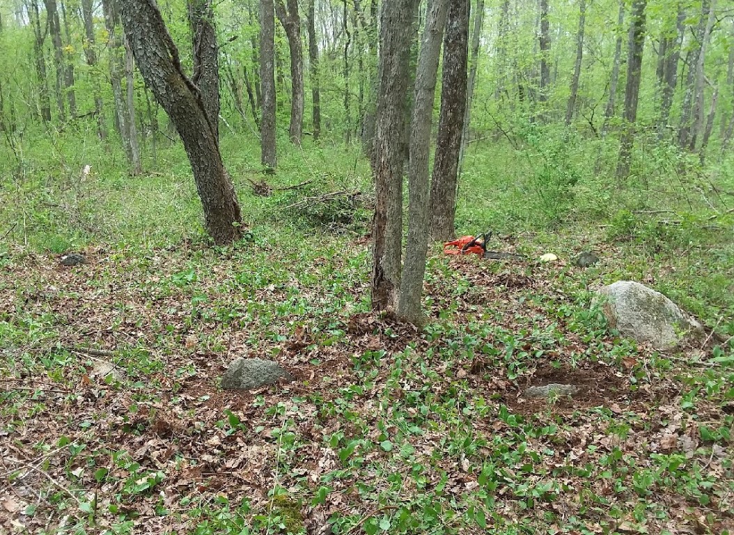 Photo/Image Courtesy of Rhode Island Historic Cemetery Volunteers
| Cemetery Number | NS060 |
| Town | NORTH SMITHFIELD |
| Cemetery Name | JOHN MOWRY LOT |
| Find A Grave | |
| Graves List | Display Graves List |
| Location | 215 IRON MINE HILL ROAD |
| State | RI |
| Direction | W |
| Pole Number | 190 |
| Distance | 200 |
| Map Number | |
| Page Number | |
| Plat Number | |
| Deed Book | |
| Deed Page | |
| Size in Feet | |
| Size in Feet | |
| Inscriptions | 0 |
| Fieldstones | 4 |
| Tombs | |
| Exist? | YES |
| Last seen date? | 2018 |
| Oldest | 1690 |
| Newest | 1690 |
| Enclosure | no enclosure |
| Gate | no gate |
| Terrain | level |
| Comment | This cemetery is located behind #215 Iron Mine Road, 815 feet NW of Iron Mine Road and 715 feet SW of Sayles Hill Road. Surveyed by Irene Nebiker in 1970. “Courtesy of Milton West. North of the road leading to Milton West Farm at the base of an ash tree.” The lot sits atop a slightly raised mound at the edge of what was an old field. We may have found the graves of John Mowry (1645 - 1690) and Mary "Olney" Mowry (1647 - 1690) on Iron Mine Hill Rd at the Milton West Farm. Here's some background on them and their farm on Iron Mine Hill: [During the settlement of these farms, the garrison was built on the summit of Fort Hill, some twenty rods to the northwest of the Arioch Comstock house, to which these families resorted for protection in the time of war, and even in times of peace they were accustomed to drive their flocks within the enclosure, and set a watch to protect them from the Indians. Roger Morey settled in Rhode Island. John Morey, son of Roger, settled on what is known as Sayles Hill. The cellar of his house, filled with stone, is now seen by the visitor to the farm of Benjamin Sayles, near the present school-house. He and his wife died of the small-pox, and were buried in the cemetery a few rods from the above mentioned school-house. John Mowry (changed from Morey) and Edward Inman received a deed of two thousand acres from William Minnivo of Tunskipage, in Massachusetts Bay…] |
| Cemetery Location | |
| Cemetery Burial Map |
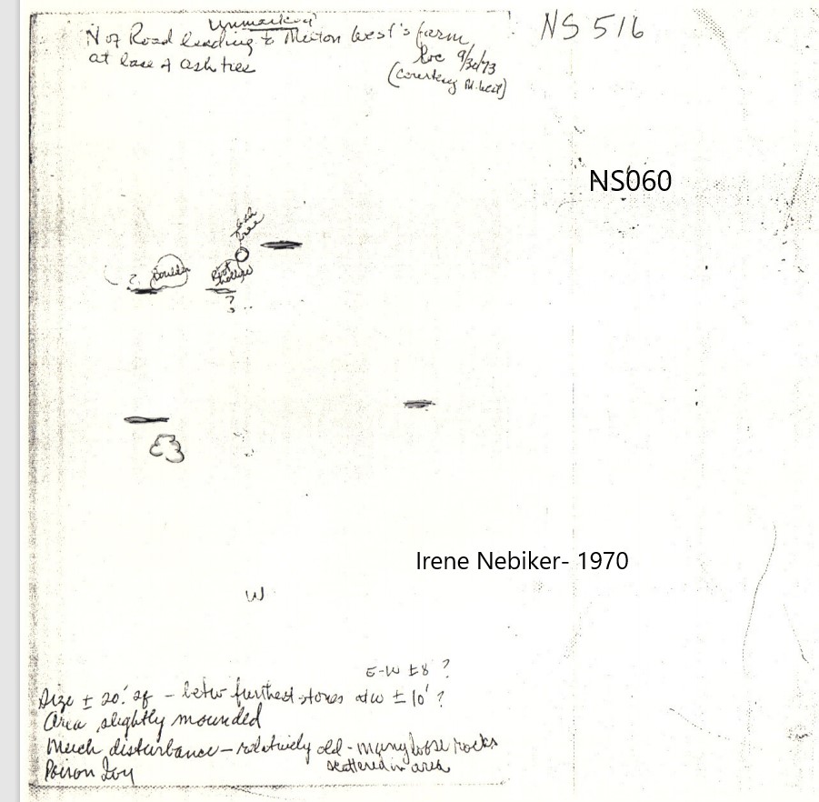 Click Cemetery Map for Enlarged Version.
Enlarged map will open in New Window. |